 New homes and subdivisions

Subdivisions, Christchurch
Three Christchurch blocks at the edge of active greenfield development, each with three concept options of 25 to 45 lots built in 3D: roads and services, earthworks and house pads, then the houses stage by stage. The ground, imagery and neighbourhood are real public data. Irvines Track and Kennedys Bush Road carry layouts of our own, not any developer's scheme; at Westmorland the sections are the real titled ones, with our concept homes and earthworks.
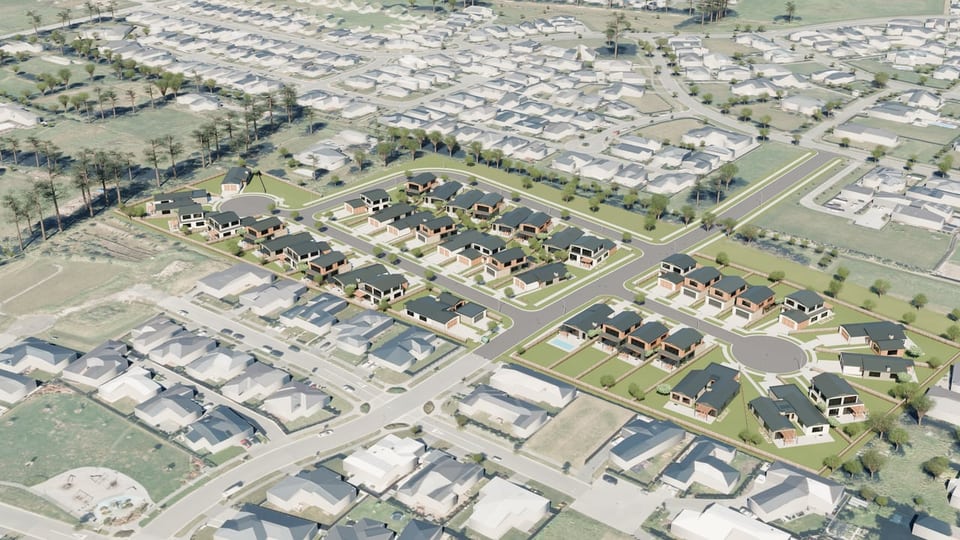 Flat greenfieldIrvines TrackHalswell, ChristchurchThree hedged paddocks of flat ground at the Halswell development front.3.92 ha · Light Mood Road · Provincial Road
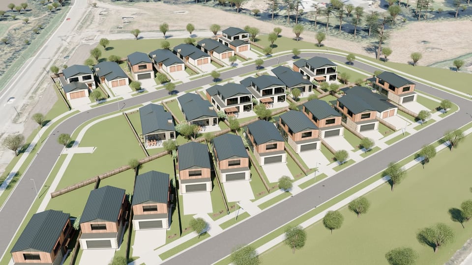 Flat greenfieldKennedys Bush RoadHalswell, Christchurch (by Halswell Quarry Park)The last stage of a working subdivision, shown as the paddock it was before earthworks.3.02 ha · new collector street · Kennedys Bush Road
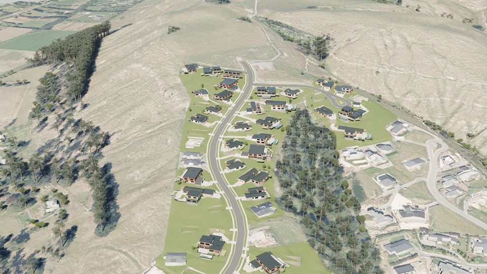 Hillside, retaining wallsWestmorlandKitcheners Knoll Road, Westmorland, ChristchurchThe two newest Westmorland stages, section by section: built walls kept, vacant slopes terraced.9.54 ha · Kitcheners Knoll Road · Aschwell Road
Concept only. Terrain: LINZ Christchurch LiDAR 1 m (2024–25; 2020–21 inside the Kennedys Bush Road block), NZVD2016, CC BY 4.0. Imagery: LINZ Christchurch 0.075 m Urban Aerial Photos (2025; 2020–21 inside the Kennedys Bush Road block), CC BY 4.0. Buildings and streets © OpenStreetMap contributors (ODbL). Boundaries are indicative.