 Subdivision developments

About Lotscape
Subdivision concepts on real New Zealand ground.
Lotscape shows what a block of land could become: layout options, an A3 concept plan set, renders and a 3D world you can walk, all drawn on the site’s real ground from public data. Developed by Oliver Rose.
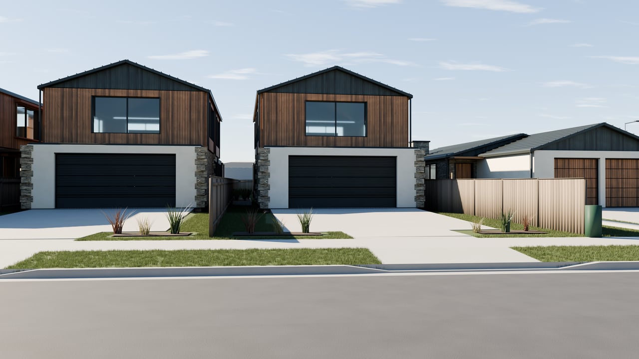
How it worksOne layout, drawn once, behind every view.
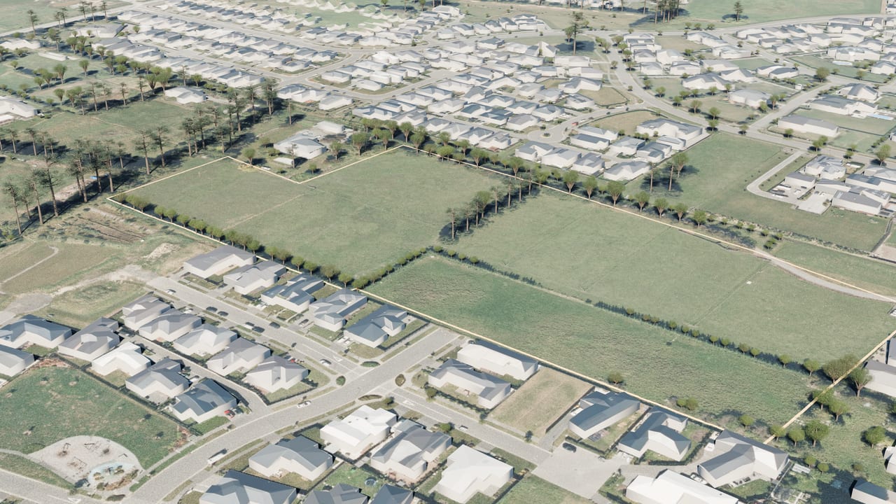
- The real groundWe start from public data for the site: LINZ LiDAR for the shape of the land, LINZ aerial photos, the title boundary, and the buildings, streets and council networks round it.
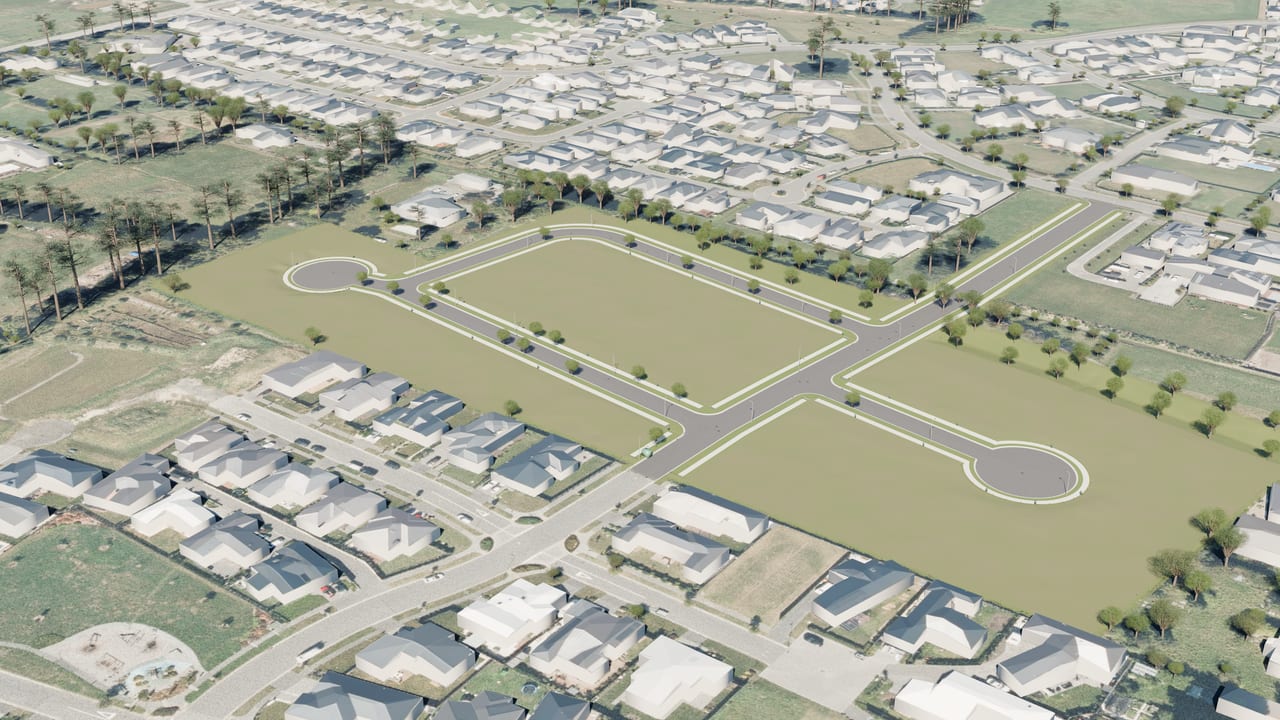
- Layout optionsThe layout engine draws roads, lots, house pads, driveways, earthworks, retaining walls and services, and checks every option against the district plan’s rules for the zone, such as minimum lot size and setbacks.
- The plan setA3 concept sheets from the same layout: the layout, a lot schedule, concept services, street furniture and earthworks.
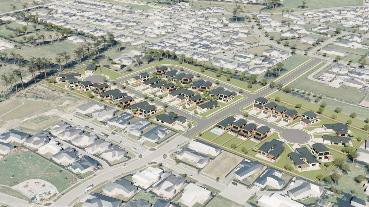
- RendersCycles renders of the same layout, from the air and at street level, and stage by stage: the ground as it is, civil works, then homes.
- The 3D worldIn the browser, on a phone or a computer: look round, switch options, walk the streets, take the 360° tour, watch the film, or stand the design on the site in AR.
Who it’s for
Developers
Send the project, where it’s up to and the plans you have, as a formal request to be considered. Layout options, a concept plan set or every view, for weighing up a block.
Landowners
Weighing up what your land could do: how it might subdivide, and what the rules and the ground allow.
People building a home
Placing a house on a section: where it sits on the ground and how it looks, before anything is built.
The exemplarsWhat a client receives. Open one and use every view.
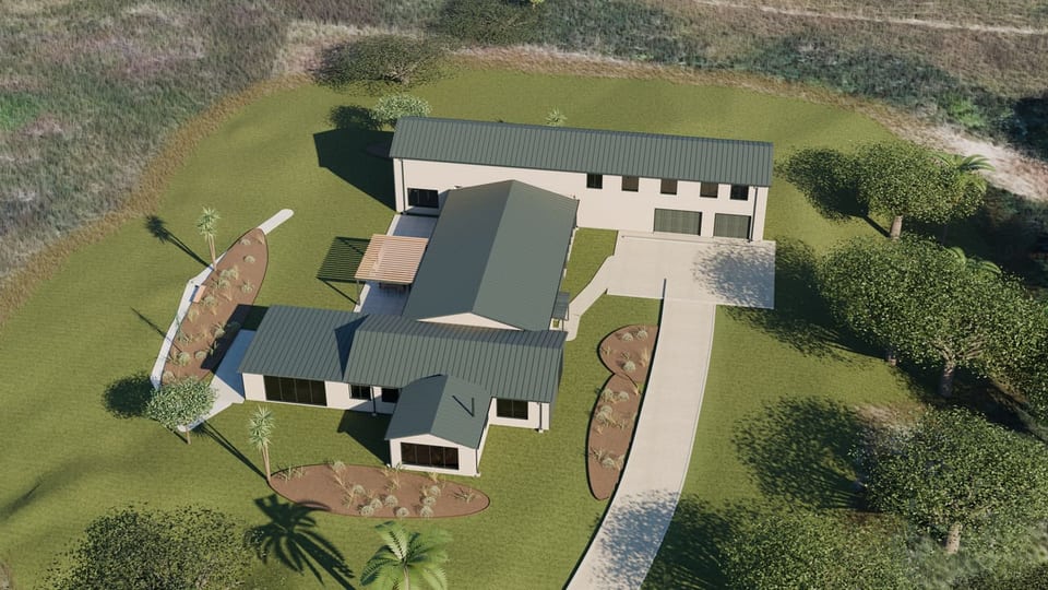 OmauCape FoulwindUnpaid concept exampleSubdivision and home concept example
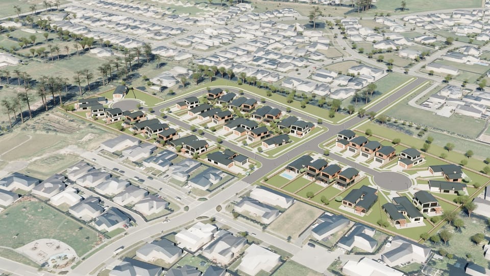 Irvines TrackHalswellHypothetical exemplarFlat paddocks, three layouts
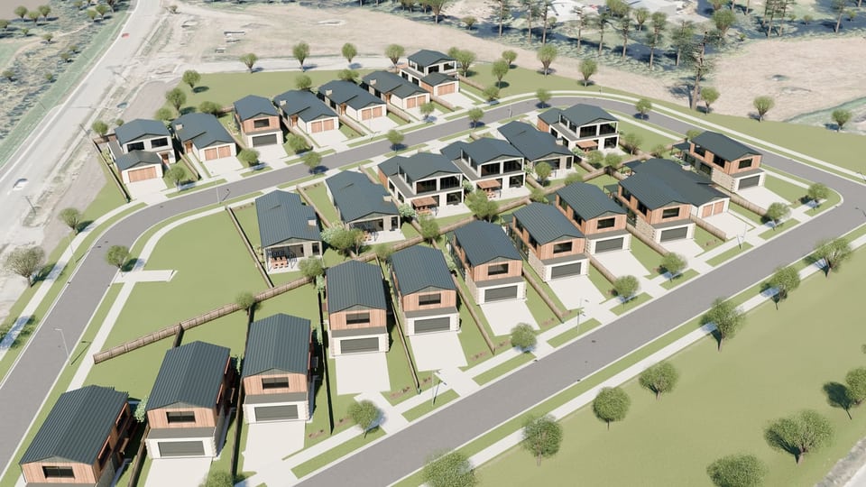 Kennedys Bush RdHalswellHypothetical exemplarA subdivision’s last stage
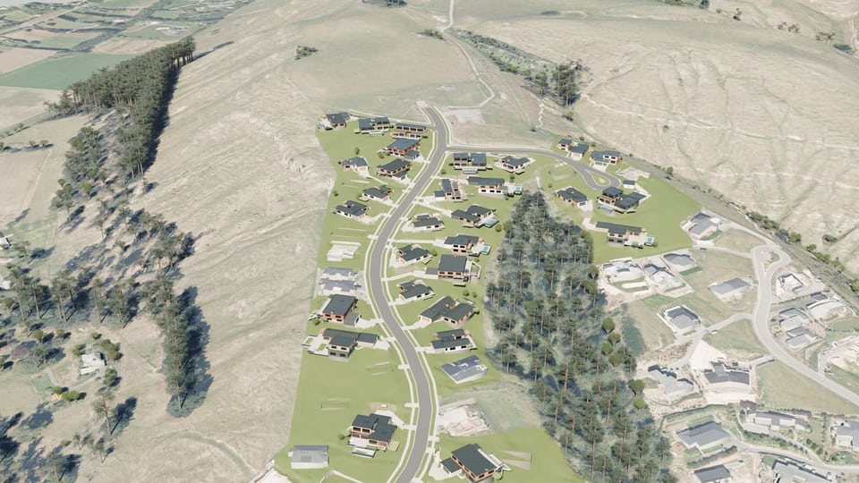 WestmorlandCashmere hillsHypothetical exemplarHillside sections, terraced
Omau, Cape Foulwind is an unpaid concept example: their subdivision options and their new home, with every lot tested for a house platform, a wastewater field and reserve, tanks and fire water.
The three Christchurch sites are real blocks of land on real LINZ terrain and aerials, with layouts that are ours: hypothetical, not any developer’s scheme.
Where the data comes from
- The ground
- LINZ LiDAR elevation models, 1 m: Christchurch 2024–25, and the West Coast for Omau. CC BY 4.0.
- Aerial photos
- LINZ: the Christchurch 7.5 cm urban aerials of March 2025, and the Buller and West Coast aerials for Omau. CC BY 4.0.
- Boundaries
- LINZ property parcels. CC BY 4.0.
- Buildings and streets
- OpenStreetMap contributors. ODbL.
- Council networks
- Christchurch City Council open data, round the Christchurch sites. CC BY 4.0. As recorded, so indicative.
- Coordinates
- NZTM2000 (EPSG:2193), with heights in NZVD2016.
Everything Lotscape makes is concept only: not a survey, a consent application or engineering design. What that means.
Who makes it
Lotscape is developed by Oliver Rose. Write to us at oliver@lotscape.co.nz.
Send us your section.
Tell us about the land and what you have in mind, and we’ll delve into it. We confirm your price before any work starts.